PIX4Dcatch + GNSS ที่ทำให้งานเก็บข้อมูลสามมิติของคุณถูกต้องแม่นยำและง่ายกว่าที่คิด
การทำงานร่วมกันอย่างลงตัว กับ โปรแกรม PIX4Dcatch แอพพลิเคชั่นที่สามารถดาวน์โหลดได้ฟรีบนมือถือและแท็บเล็ตในระบบ iOS, Android เพื่อเปลี่ยนอุปกรณ์ของคุณให้เป็น Laser Scanner โดยทำการเก็บข้อมูลวัตถุ พื้นที่ ในรูปแบบ As-is เพื่อนำไปสร้างเป็นข้อมูลสามมิติโดยข้อมูลที่ได้เป็นข้อมูลภาพถ่าย (Photogrametry) และ Pointcloud ทันที (สำหรับอุปกรณ์ที่มี sensor LiDAR)
ทำงานร่วมกับ RTK GNSS survey-grade accuracy เพื่อติดแท็กตำแหน่งรูปภาพที่เก็บรวบรวมด้วย PIX4Dcatch แบบเรียลไทม์ ซึ่งช่วยให้ข้อมูลมีความแม่นยำระดับเซนติเมตร โดยตัวนี้จะเชื่อมต่อกับโทรศัพท์มือถือผ่านทาง Bluetooth ทำให้เราสามารถเก็บข้อมูลเพื่อไปทำ Digital twin ได้รวดเร็วและแม่นยำมากขึ้น
ข้อมูลที่คุณจะได้รับ
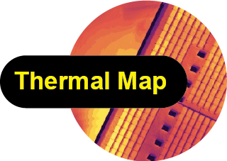
Thermal Map
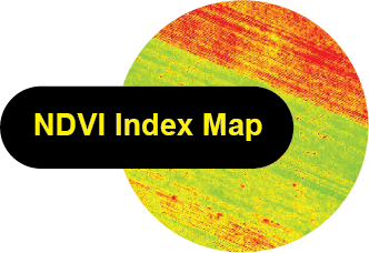
Index map
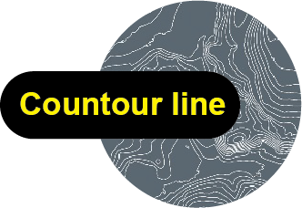
Countour line
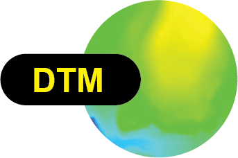
DTM
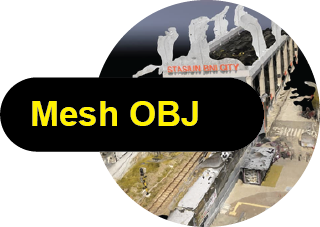
Mesh OBJ

Point cloud
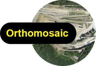
Orthomosaic
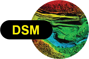
DSM
PIX4Dcatch
PRODUCTS SOLUTION
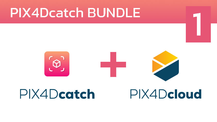
PIX4Dcatch BUNDLE - 01
แพ็คเกจสำหรับผู้เริ่มต้น กับการใช้งาน Application PIX4Dcatch ฟรีบนมือถือของคุณ และอัพโหลดพร้อมประมวลผลข้อมูลผ่าน PIX4Dcloud ท่านสามารถเลือกแพ็คเกจได้ทั้งแบบ รายปี และ รายเดือนรายละเอียดเพิ่มเติม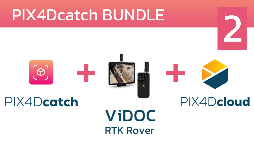
PIX4Dcatch BUNDLE - 02
เพิ่มความถูกต้องให้กับข้อมูลที่สแกนด้วย PIX4Dcatch บนมือถือ ด้วยการทำงานร่วมกับ RTK Rover ในราคาพิเศษ และอัพโหลดพร้อมประมวลผลข้อมูลผ่าน PIX4Dcloud ท่านสามารถเลือกแพ็คเกจได้ทั้งแบบ รายปี และ รายเดือนรายละเอียดเพิ่มเติม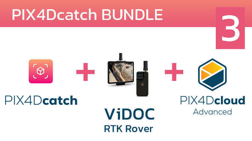
PIX4Dcatch BUNDLE - 03
เพิ่มความถูกต้องให้กับข้อมูลที่สแกนด้วย PIX4Dcatch บนมือถือ ด้วยการทำงานร่วมกับ RTK Rover พร้อมเพิ่มการทำงานแบบมืออาชีพด้วยการนำเข้าไฟล์ IFC,DXF,CAD รวมถึงคำสั่งเปรียบเทียบข้อมูล (Timeline) บน PIX4Dcloud Advance รายละเอียดเพิ่มเติม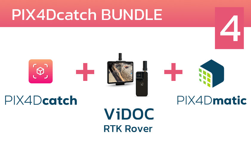
PIX4Dcatch BUNDLE - 04
จัดการข้อมูลสแกนที่ได้จาก PIX4Dcatch ร่วมกับ RTK ROVER บน Destop (รูปแบบ Offline) ของคุณด้วยโปรแกรมประมวลผล PIX4Dmatic รายละเอียดเพิ่มเติม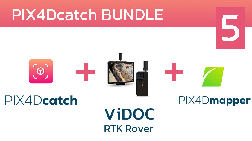
PIX4Dcatch BUNDLE - 05
จัดการข้อมูลสแกนที่ได้จาก PIX4Dcatch ร่วมกับ RTK ROVER บน Destop (รูปแบบ Offline) ของคุณด้วยโปรแกรมประมวลผล PIX4Dmapper รายละเอียดเพิ่มเติมPIX4Dcatch
Subscription plans

GPS georeferencing
Point measurement
Create GCPs and marks
Download Now

*PIX4Dcloud, PIX4Dmatic, or PIX4Dmapper licenses only
Export data (images, point cloud, GCPs, marks, site localization)
Upload and process in PIX4Dcloud (requires PIX4Dcloud subscription)
Download Now

Automatic GCPs and tie points detection with Pix4D Autotags
Augmented reality features:
AR Points
Display projects in AR (requires PIX4Dcloud subscription)
Download Now
GET SPECIAL OFFER !!!
รับราคาพิเศษ สำหรับ License แบบซื้อขาดและแบบรายปี กรอกแบบฟอร์มเพื่อขอใบเสนอราคาได้เลย
ขอใบเสนอราคาพิเศษPIX4D
Relate Products
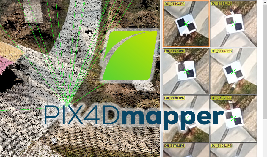
PIX4Dmapper
โปรแกรมสำหรับจัดทำแผนที่จากภาพถ่ายทางอากาศประมวลผลได้รวดเร็ว พร้อมส่งออกข้อมูลหลากหลายรูปแบบ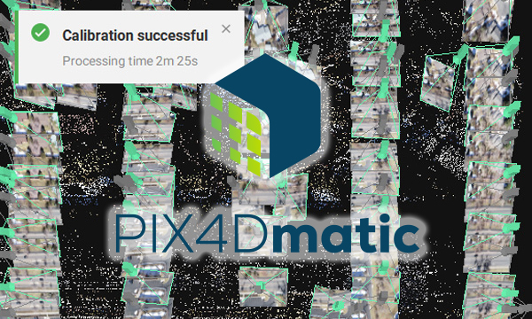
PIX4Dmatic
โปรแกรมสำหรับใช้ข้อมูลภาพถ่ายทางอากาศประมวลผลรวดเร็วเป็น 2 เท่า พร้อมรองรับจำนวนภาพได้มากกว่า 5,000 ภาพ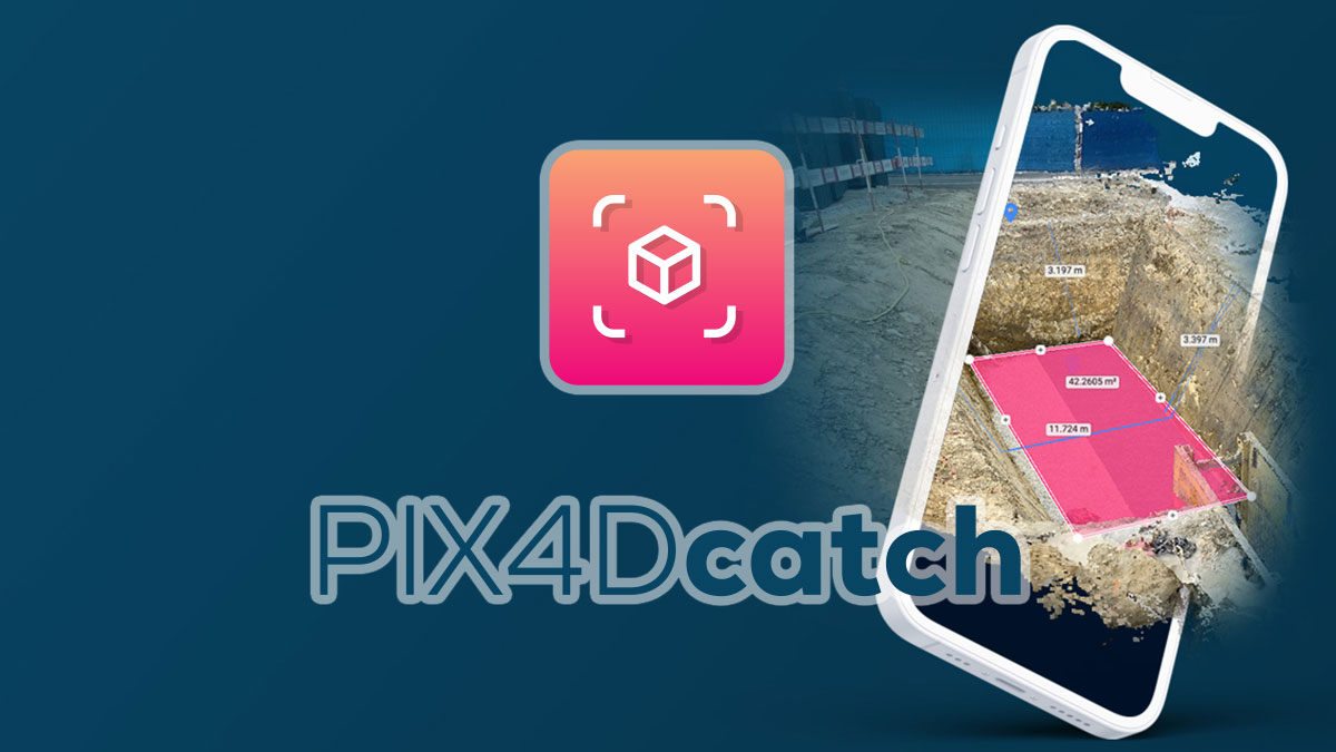
PIX4Dcatch
Turn your mobile device into a professional 3D scanner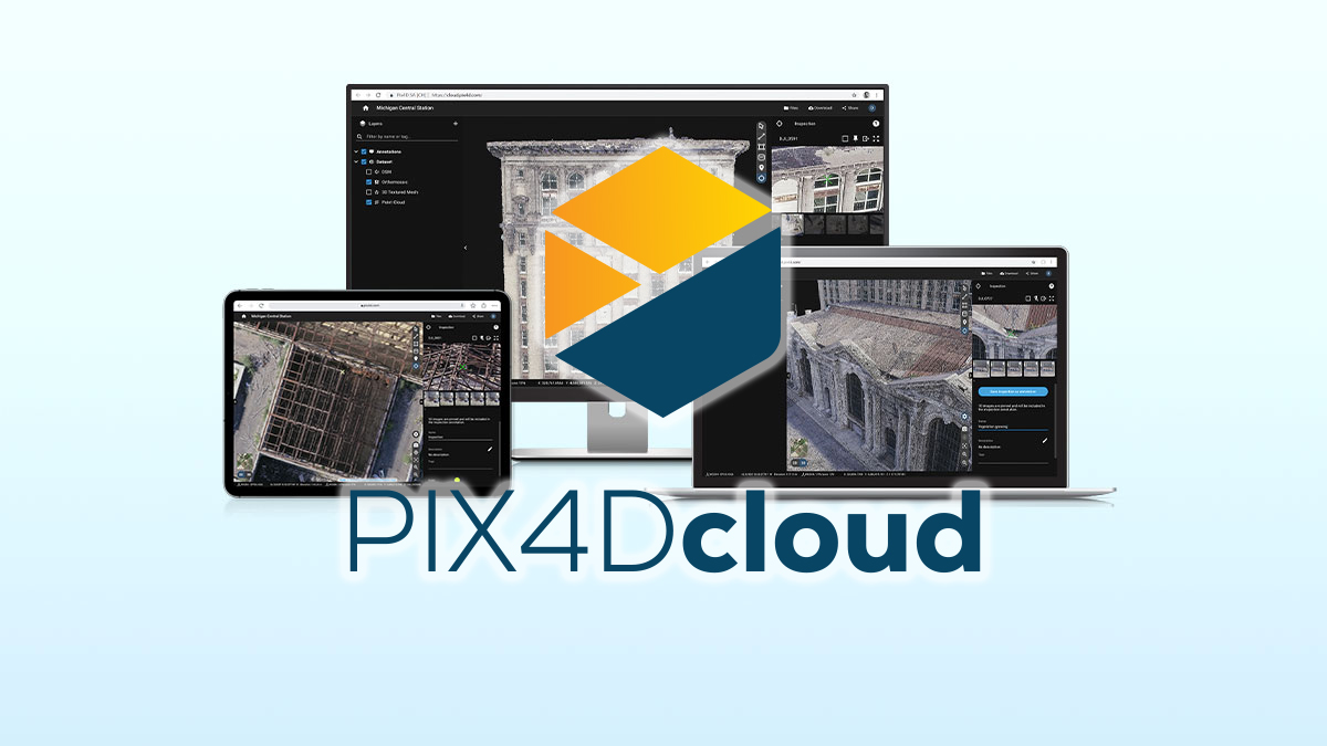
PIX4Dcloud + PIX4Dcloud Advance
แพลตฟอร์มสำหรับการทำแผนที่ทางอากาศ สามารถติดตามความคืบหน้า แบบออนไลน์PIX4Dcatch
Learn how PIX4Dcatch can be the right fit for you
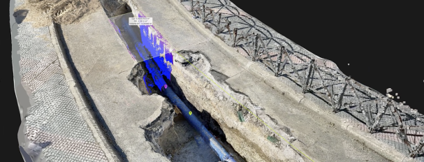
Utilities and subsurface mapping
Quick trench scans for documentation of subsurface utilitiesVisualization in AR, even after closure
Save time and cut costs
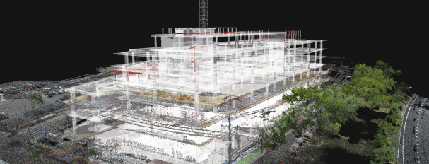
Construction verification and earthworks
Overlay DXF, IFC, or SHP designsMeasure and compare volumes
Reduce costs, speed up project timelines
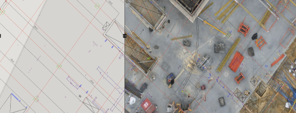
Civil engineering and site verification
Overlay CAD files for real-site comparisonCloud uploads for collaborative work
Speed up reviews, keep projects on track
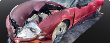
Forensics scene capture
Merge drone and phone data for 3D modelsSecure, offline, user-friendly workflow
Detailed and comprehensive scene documentation

Land surveying
Streamline surveying with user-friendly interfaceIntegrate with PIX4Dmatic and PIX4Dcloud
Easy data processing and report sharing