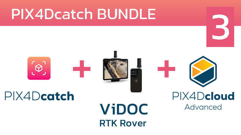
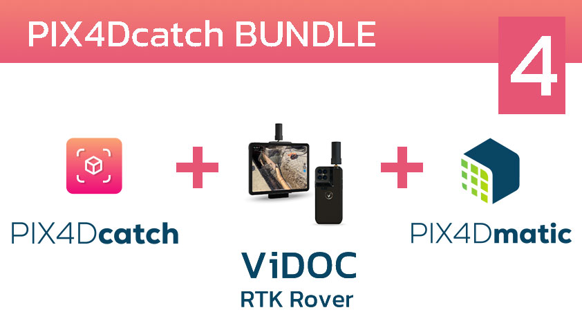
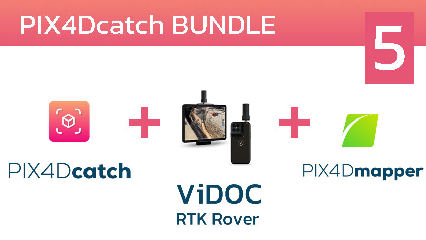
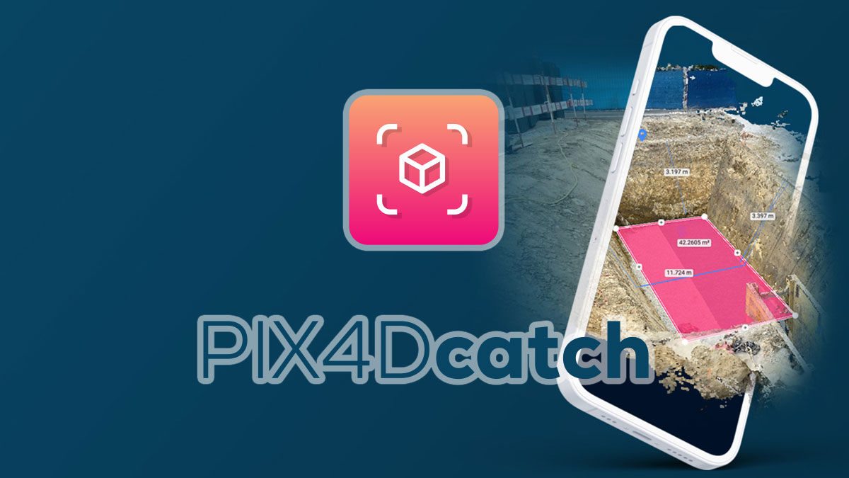
PIX4Dcatch
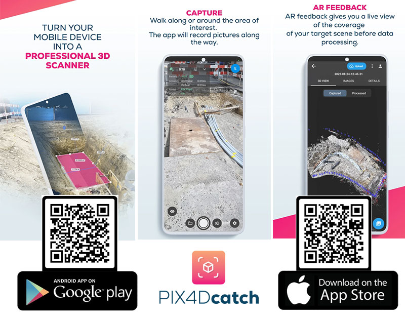
แอพพลิเคชั่นที่สามารถดาวน์โหลดได้ฟรีบนมือถือและแท็บเล็ตในระบบ iOS, Android เพื่อเปลี่ยนอุปกรณ์ของคุณให้เป็น Laser Scanner โดยทำการเก็บข้อมูลวัตถุ พื้นที่ ในรูปแบบ As-is เพื่อนำไปสร้างเป็นข้อมูลสามมิติโดยข้อมูลที่ได้เป็นข้อมูลภาพถ่าย (Photogrametry) และ Pointcloud ทันที (สำหรับอุปกรณ์ที่มี sensor LiDAR)
คุณสมบัติที่โดดเด่น
- Easy to use : สามารถใช้งานผ่านโทรศัพท์มือถือและแทบเล็ท เพียงทำการเดินรอบวัตถุที่ต้องการเก็บข้อมูล และดูข้อมูลที่ทำการสแกนได้แบบ Realtime ในรูปแบบสามมิติ
- Fast and reliable : Application จะทำการบันทึกตำแหน่งปัจจุบันของคุณ และทำการส่งออกข้อมูล 3D ที่มีการปรับขนาดและอ้างอิงทางภูมิศาสตร์ในรูปแบบ 3 มิติ
- Everything done with Pix4D products : สามารถทำการประมวลผลข้อมูล และส่งออกข้อมูลที่ทำการเก็บไว้ไปยังผลิตภัณฑ์ของ PIX4D ผ่าน PIX4Dcloud เพื่อแบ่งปันข้อมูลได้ทันที
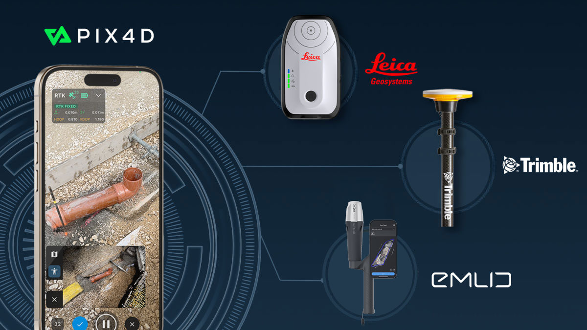
PIX4Dcatch is now integrated with three of the world’s most trusted GNSS systems—Leica Zeno FLX100, TrimbleⓇ DA2, and TopCon HiPer CR.
Leica Zeno FLX100, TrimbleⓇ DA2, and TopCon HiPer CR is fully supported by PIX4Dcatch, allowing users to choose the best GNSS solution for their data capture needs and enhancing the accuracy, precision, and efficiency of geospatial workflows.
- • This development is a major milestone for PIX4Dcatch. Now, professionals across industries such as construction, engineering, and GIS can utilize PIX4Dcatch’s 3D scanning and augmented reality (AR) features with greater accuracy and reliability.
The GNSS solutions
The Leica Zeno FLX100 plus is designed to withstand harsh environments, with dust and water resistance and a battery life of over 20 hours. It is ideal for applications such as trench inspections, as-built documentation, and site surveys, offering users a robust and easy-to-use solution for precise data capture in the field
The TrimbleⓇ DA2, powered by Trimble Catalyst™ offers centimeter-to-sub-meter precision, delivering scalable accuracy, whether pole-mounted or handheld. The latest PIX4Dcatch update also simplifies the RTK connection process, allowing users to select an “automatic” option, reducing setup time and improving ease of use.
The final addition to the PIX4Dcatch RTK ecosystem is the TopCon HiPer CR. Renowned for its reliable GNSS accuracy, the HiPer CR empowers professionals to capture precise, high-quality data across diverse environments. It is particularly well-suited for land surveying, construction, and mapping.
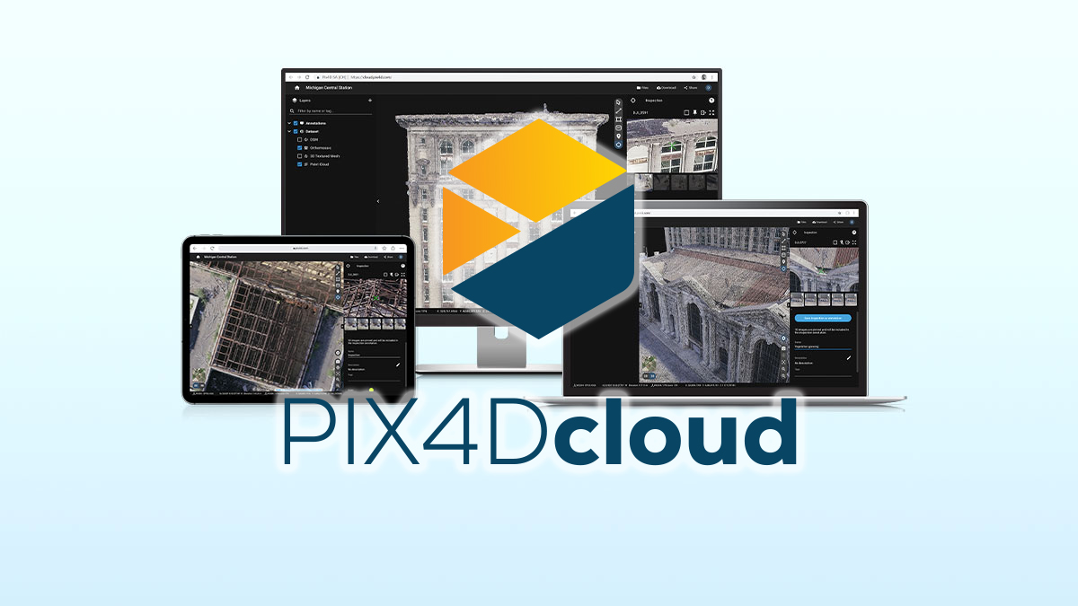
PIX4Dcloud - Online Platflorm สำหรับประมวลผล
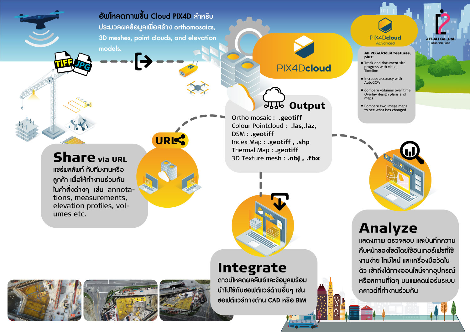
โปรแกรมเป็นระบบ Cloud Process เพียงแค่คุณเก็บข้อมูลด้วย PIX4Dcatch ที่เพิ่มความถูกต้องด้วยตัว RTK Rover บน Smartphone หรือ Tablet ของคุณ สามารถกดปุ่ม Upload บน PIX4Dcatch application ข้อมูลจะถูกอัพโหลดไปประมวลผลที่ PIX4Dcloud แบบอัตโนมัติ โดยที่คุณไม่ต้องทำอะไรแล้วเพียงแค่รอให้ระบบมันประมวลผลเสร็จ
คุณก็สามารถดูข้อมูลที่ประมวลผลเสร็จแล้วผ่านทาง Smartphone หรือ Tablet หรือ คอมพิวเตอร์ผ่านทาง web browser ได้เลย นอกจากนี้คุณยังจะสามารถแชร์ข้อมูลนี้ไปให้ทางทีมของคุณดูและวัดได้อย่างง่ายดายผ่านทาง URL
PIX4Dcloud DATA
Input ที่รองรับบน PIX4Dcloud
(nadir & oblique), multispectral and terrestrial imagery , any camera (compact, SLR, multispectral, GoPro, in jpg or tiff)
Feature PIX4Dcloud
- สามารถเลือก Template (2D, 3D) ในการประมวลผลได้
- สามารถวัดระยะทางและพื้นที่ได้
- สามารถวัดปริมาตร
- Elevation profile
- นำเข้าและส่งออก annotations (DXF, SHP, csv, geojson)
- Circle annotations
- Virtual inspector
- Multispectral processing and NDVI display
- Upload existing outputs
- Sharing
Output ที่ได้จากโปรแกรม PIX4Dcloud
2D outputs
- Nadir orthomosaics .tif (GeoTiff)
- 2D vector output .geojson, .shp
2.5D outputs
- DSM/DEM .tif (GeoTiff)
3D outputs
- 3D point cloud .las
- 3D textured mesh .fbx, .obj
Report Output
- Quality report .pdf
GET SPECIAL OFFER !!!
รับราคาพิเศษ สำหรับ License แบบซื้อขาดและแบบรายปี กรอกแบบฟอร์มเพื่อขอใบเสนอราคาได้เลย
ขอใบเสนอราคาพิเศษ

