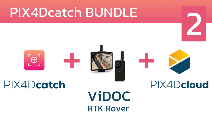
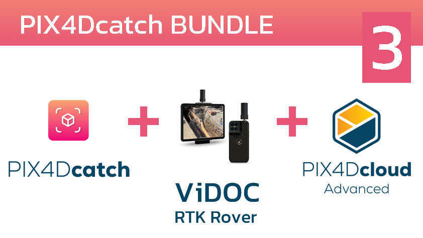
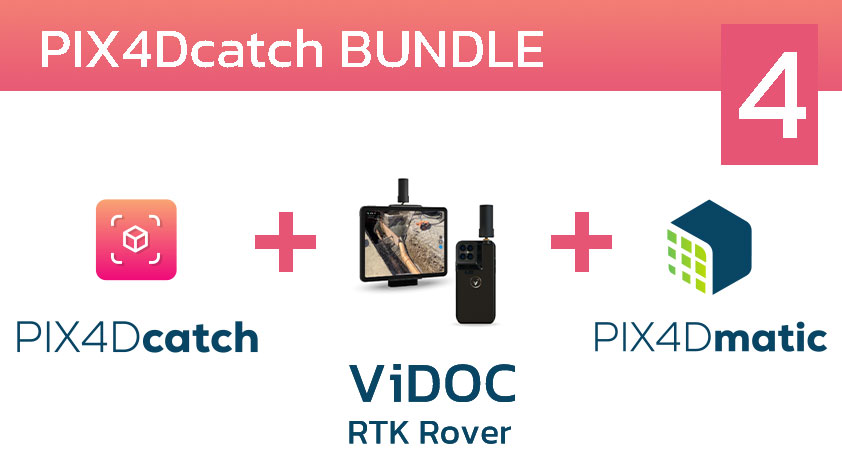
PIX4Dcatch
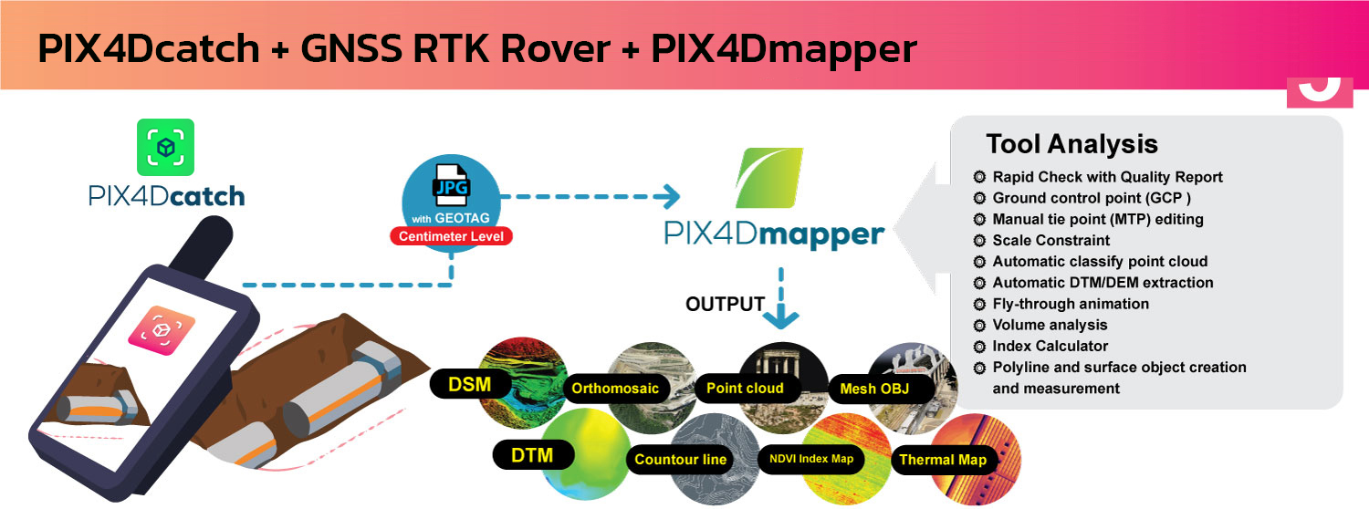
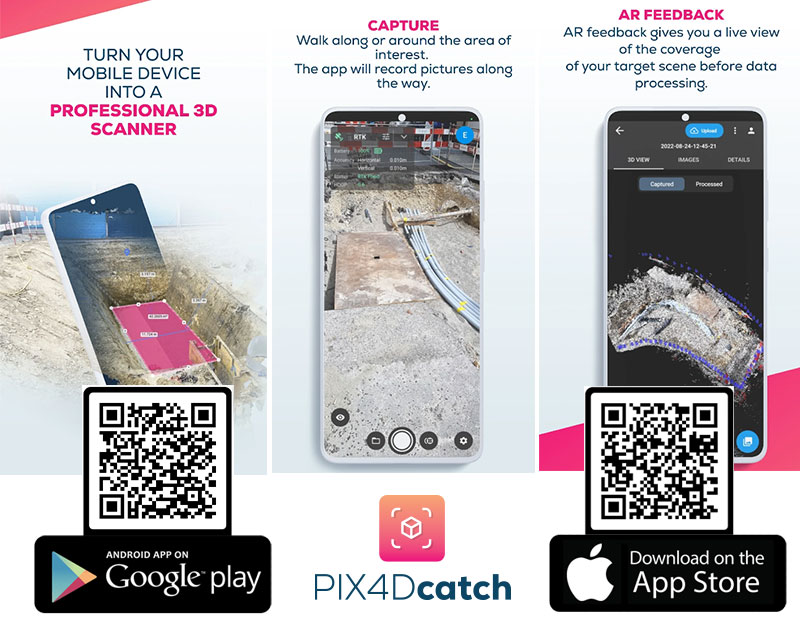
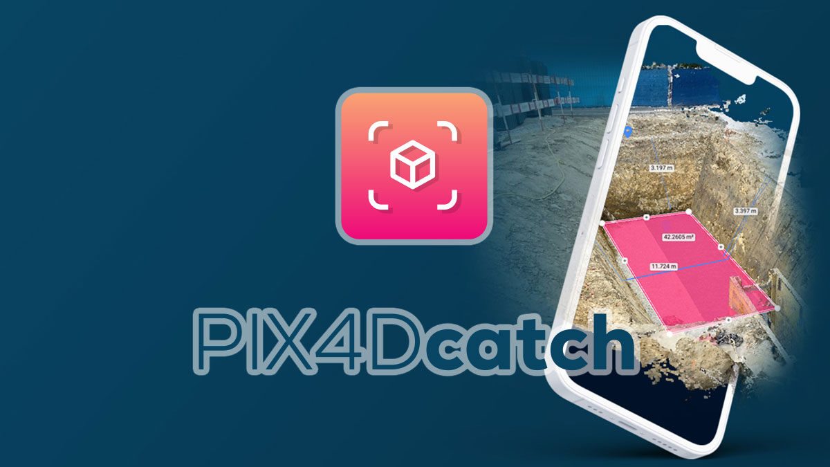
แอพพลิเคชั่นที่สามารถดาวน์โหลดได้ฟรีบนมือถือและแท็บเล็ตในระบบ iOS, Android เพื่อเปลี่ยนอุปกรณ์ของคุณให้เป็น Laser Scanner โดยทำการเก็บข้อมูลวัตถุ พื้นที่ ในรูปแบบ As-is เพื่อนำไปสร้างเป็นข้อมูลสามมิติโดยข้อมูลที่ได้เป็นข้อมูลภาพถ่าย (Photogrametry) และ Pointcloud ทันที (สำหรับอุปกรณ์ที่มี sensor LiDAR)
คุณสมบัติที่โดดเด่น
- Easy to use : สามารถใช้งานผ่านโทรศัพท์มือถือและแทบเล็ท เพียงทำการเดินรอบวัตถุที่ต้องการเก็บข้อมูล และดูข้อมูลที่ทำการสแกนได้แบบ Realtime ในรูปแบบสามมิติ
- Fast and reliable : Application จะทำการบันทึกตำแหน่งปัจจุบันของคุณ และทำการส่งออกข้อมูล 3D ที่มีการปรับขนาดและอ้างอิงทางภูมิศาสตร์ในรูปแบบ 3 มิติ
- Everything done with Pix4D products : สามารถทำการประมวลผลข้อมูล และส่งออกข้อมูลที่ทำการเก็บไว้ไปยังผลิตภัณฑ์ของ PIX4D ผ่าน PIX4Dcloud เพื่อแบ่งปันข้อมูลได้ทันที
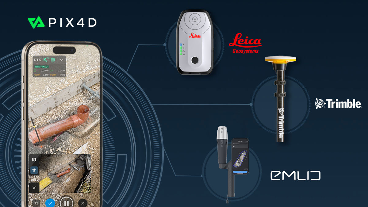
PIX4Dcatch is now integrated with three of the world’s most trusted GNSS systems—Leica Zeno FLX100, TrimbleⓇ DA2, and TopCon HiPer CR.
Leica Zeno FLX100, TrimbleⓇ DA2, and TopCon HiPer CR is fully supported by PIX4Dcatch, allowing users to choose the best GNSS solution for their data capture needs and enhancing the accuracy, precision, and efficiency of geospatial workflows.
- • This development is a major milestone for PIX4Dcatch. Now, professionals across industries such as construction, engineering, and GIS can utilize PIX4Dcatch’s 3D scanning and augmented reality (AR) features with greater accuracy and reliability.
The GNSS solutions
The Leica Zeno FLX100 plus is designed to withstand harsh environments, with dust and water resistance and a battery life of over 20 hours. It is ideal for applications such as trench inspections, as-built documentation, and site surveys, offering users a robust and easy-to-use solution for precise data capture in the field
The TrimbleⓇ DA2, powered by Trimble Catalyst™ offers centimeter-to-sub-meter precision, delivering scalable accuracy, whether pole-mounted or handheld. The latest PIX4Dcatch update also simplifies the RTK connection process, allowing users to select an “automatic” option, reducing setup time and improving ease of use.
The final addition to the PIX4Dcatch RTK ecosystem is the TopCon HiPer CR. Renowned for its reliable GNSS accuracy, the HiPer CR empowers professionals to capture precise, high-quality data across diverse environments. It is particularly well-suited for land surveying, construction, and mapping.
PIX4Dmapper
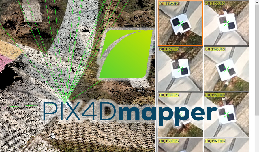
ซอฟต์แวร์โฟโตแกรมเมทรีชั้นนำสำหรับการทำแผนที่โดรนระดับมืออาชีพ ตัวโปรแกรมให้ผลลัพธ์ระดับ Survey grade มี work flow ที่เข้าใจและทำงานง่ายสำหรับผู้เริ่มต้นใช้งานทำให้ได้ผลลัพธ์ที่ครอบคลุม และสำหรับผู้ใช้งานระดับมืออาชีพสามารถกำหนด template และตั้งค่าการประมวลผลได้ด้วยตนเอง
รองรับข้อมูล
- Aerial (nadir & oblique)
- terrestrial imagery
- รองรับกล้องทุกรุ่น (compact, SLR,multispectral, GoPro) ในรูปแบบไฟล์ .jpg หรือ .tif
PIX4Dmapper
คุณสมบัติของตัวโปรแกรม PIX4Dmapper
- ตัวโปรแกรมเป็นแบบ Floating license สามารถติดตั้งได้หลายเครื่องคอมพิวเตอร์แต่จะสามารถล็อคอินเข้าใช้งานได้ทีละ 1 เครื่อง
- สามารถนำเข้า Point Cloud จากแหล่งต่างๆเพื่อนำไปสร้างข้อมูล DSM และ Orthomosaic กับข้อมูลในโครงการเดียวกันได้
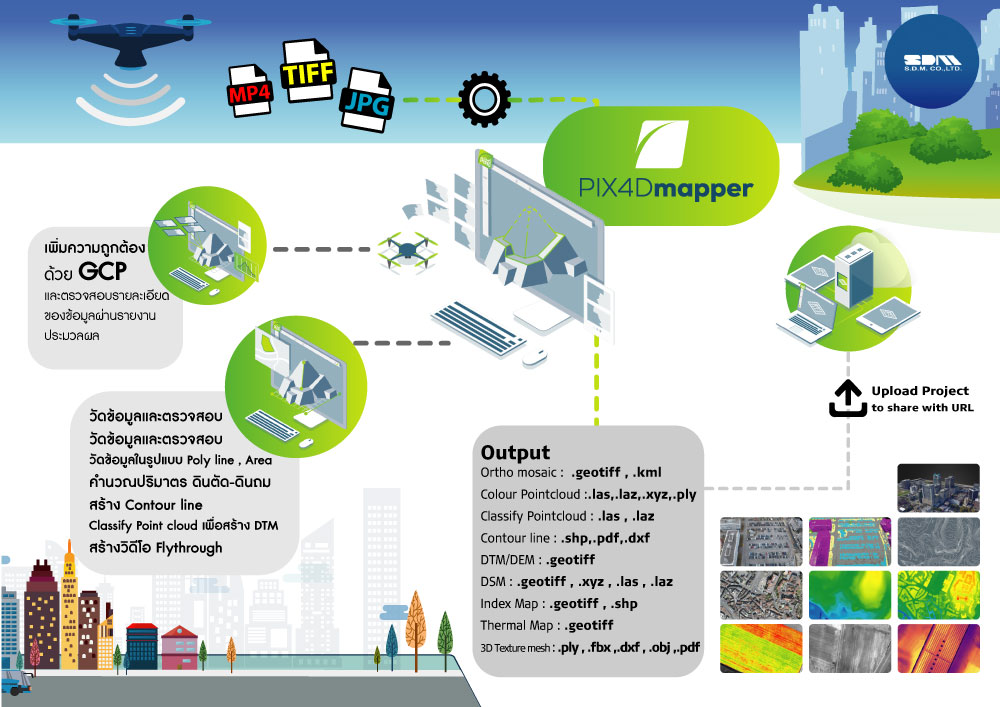
- นำเข้าข้อมูล GCP จากเครื่องมือสำรวจในรูปแบบค่าพิกัด XYZ ที่อยู่ในรูปแบบ csv , txt เพื่อเพิ่มความถูกต้องของข้อมูลได้
- นำเข้าภาพที่ถ่ายด้วยกล้องหรือโดรนที่เป็นหลายๆช็อตมาประมวลผลและต่อกันให้เป็นภาพผืนเดียวหรือที่เรียกว่า Orthomosaic
- มี Template รองรับการทำงานที่หลากหลายให้เลือกในการประมวลผล
- มีการประมวลผลแบบ Rapid Process พร้อม Quality Report สำหรับการประมวลผลแบบเร็วเพื่อตรวจสอบข้อมูลหน้าไซต์งาน
- สร้างข้อมูล Orthomosaic ในรูปแบบ GeoTIFF และ Google tiles ในรูปแบบ .kml , .html ได้
- สร้างข้อมูล Point Cloud และ classify Point Cloud ในรูปแบบ .las, .laz, .xyz และ .ply ได้
- สร้างข้อมูล 3D Texture mesh ในรูปแบบ .obj, .ply, .dxf, .fbx และสามารถสร้าง 3D pdf ได้
- สามารถสร้างข้อมูลความสูงภูมิประเทศในรูปแบบข้อมูล DSM และ DTM ในรูปแบบ GeoTIFF ได้
- มีฟังก์ชั่นในการวัดแบบ Polyline, Polygon , volume calculate
- สามารถสร้าง VDO Animation ของข้อมูล 3D mesh ในรูปแบบ MP4 เพื่อช่วยในการนำเสนอข้อมูลได้
- สามารถสร้าง Index maps (Thermal, DVI, NDVI, SAVI, etc.) ในรูปแบบ GeoTIFF และ GeoJPG ได้
- สามารถสร้าง Prescription maps ในรูปแบบ .shp ได้
- สร้างเส้นชั้นความสูง Contour line ในรูปแบบ .shp, .dxf, .pdf ได้
GET SPECIAL OFFER !!!
รับราคาพิเศษ สำหรับ License แบบซื้อขาดและแบบรายปี กรอกแบบฟอร์มเพื่อขอใบเสนอราคาได้เลย
ขอใบเสนอราคาพิเศษ
