Jitjai Co., Ltd.
WE PROVIDES Drone & Image Processing Software
Drone & Image Processing Software
Surveying & Mapping
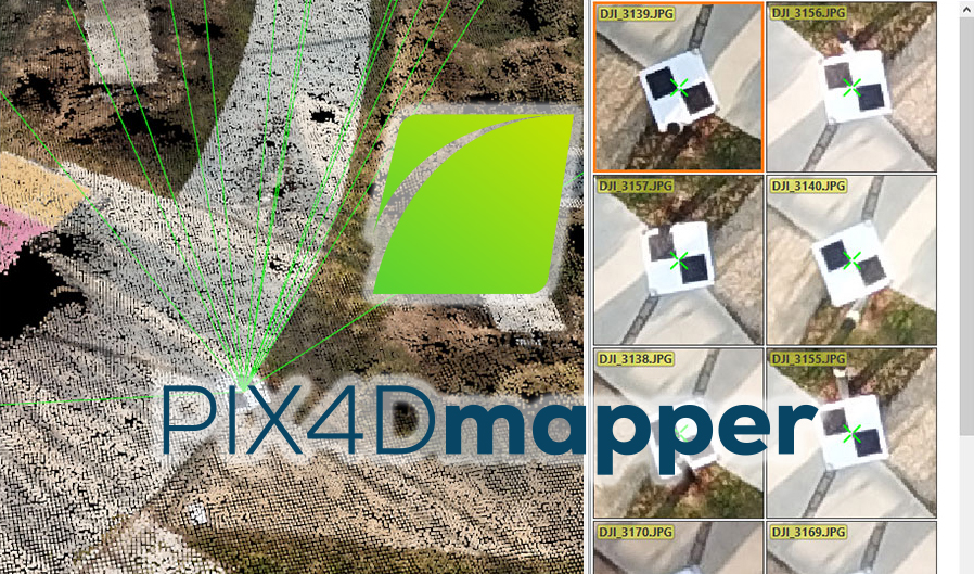
PIX4Dmapper
โปรแกรมสำหรับจัดทำแผนที่จากภาพถ่ายทางอากาศประมวลผลได้รวดเร็ว พร้อมส่งออกข้อมูลหลากหลายรูปแบบ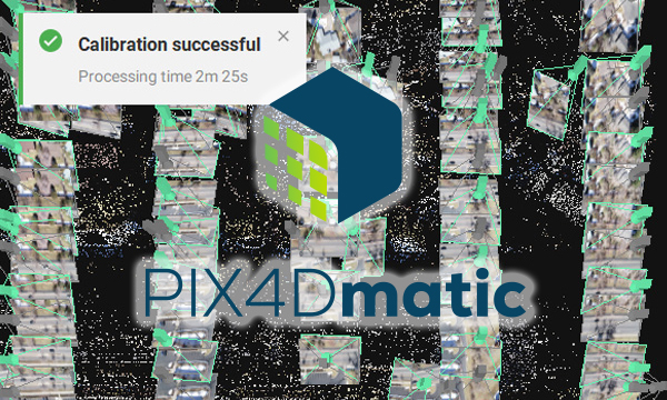
PIX4Dmatic
โปรแกรมสำหรับใช้ข้อมูลภาพถ่ายทางอากาศประมวลผลรวดเร็วเป็น 2 เท่า พร้อมรองรับจำนวนภาพได้มากกว่า 5,000 ภาพDrone & Image Processing Software
Civil Engineering & Construction
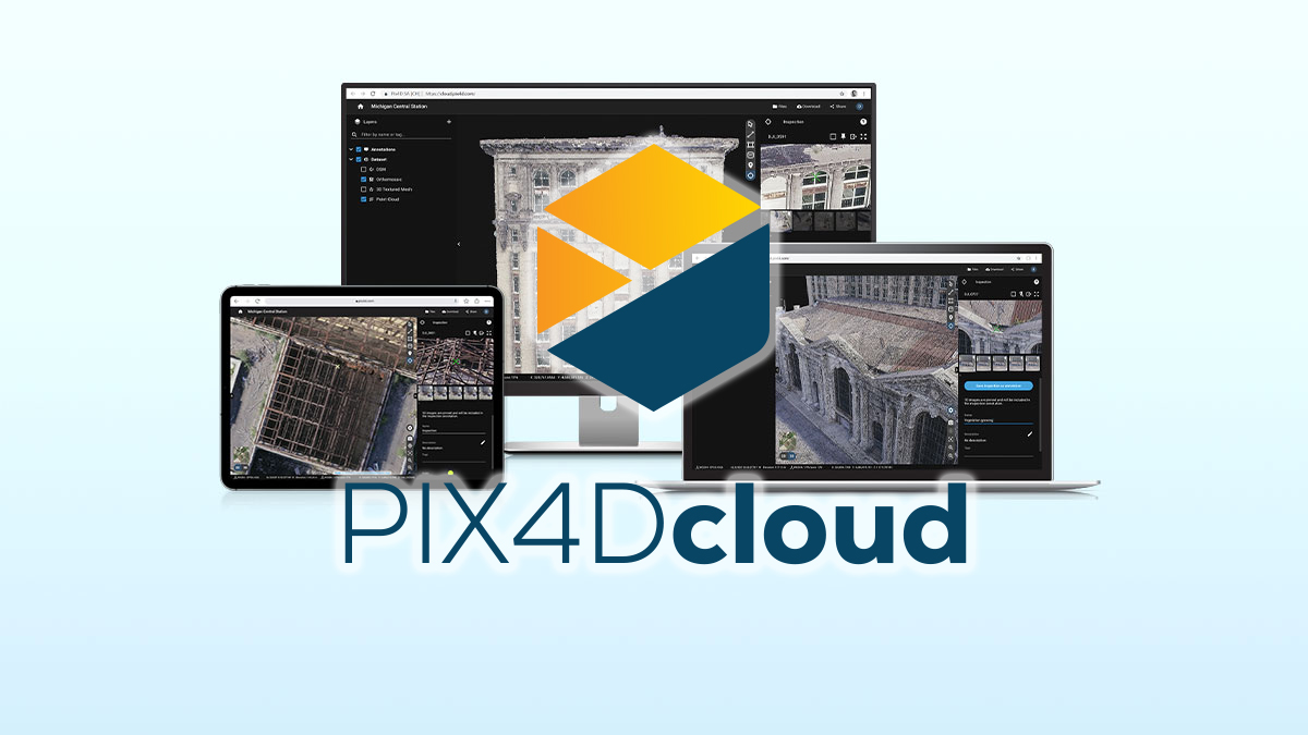
PIX4DCloud
แพลตฟอร์มสำหรับการทำแผนที่ทางอากาศ สามารถติดตามความคืบหน้า แบบออนไลน์Drone & Image Processing Software
Agriculture & Environment
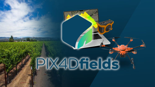
PIX4Dfields
Field mapping and aerial crop analysis for digital farmingDrone & Image Processing Software
Public Safety & Forensics & Mapping
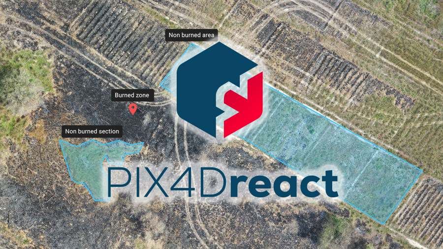
PIX4Dreact
The fast mapping software for emergency responseDrone & Image Processing Software
Smart City&Digital twin
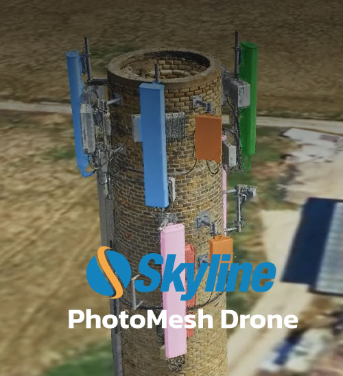
Skyline PhotoMesh Drone
Hybrid photogrammetric processing of images with LiDARWe Provides 3D LiDAR Solution Including TLS/MMS/SLAM/Handheld with most effective processing software for cutomer applications.
We have an experienced team to guide you through each workflows until you are proven with justifiable solutions that also aligned with your resource and business roadmap.
Read More