Skyline Platform ทะยานสู่มิติใหม่แห่งโลก Digital Twin
APPLICATION

Defense & Intelligence
เครื่องมือการแสดงผลเชิงพื้นที่ 3 มิติ เพื่อความสำเร็จของภารกิจ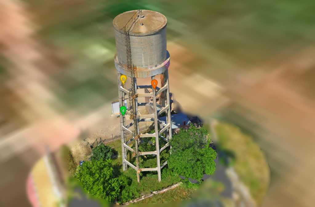
Inspection
ลดความเสี่ยง เพิ่มประสิทธิภาพ และยกระดับคุณภาพ ด้วยโซลูชันตรวจสอบเสมือนจริงจาก Skyline
City Planning
วางแผนเมืองครบวงจรบนเดสก์ท็อป ด้วยดิจิทัลทวินสมจริง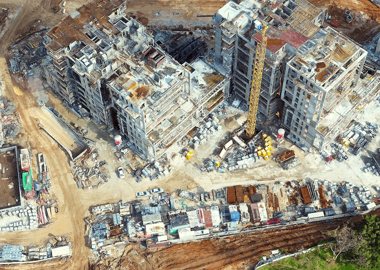
AEC
Architecture, Engineering, Construction Streamline inspections, track progress, and centralize data
Emergency Response
3D GIS เพื่อการจัดการภัยพิบัติ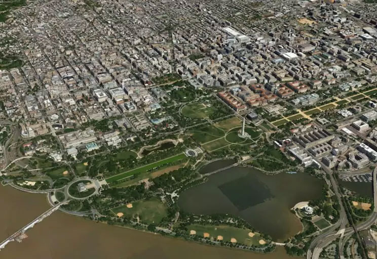
Mapping & Surveying
เพิ่มประสิทธิภาพการเก็บข้อมูล ด้วยโซลูชันภูมิสารสนเทศจาก Skyline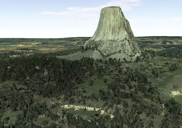
Education & Tourism
Bring the world to youSkyline Products
SKYLINE PRODUCTS
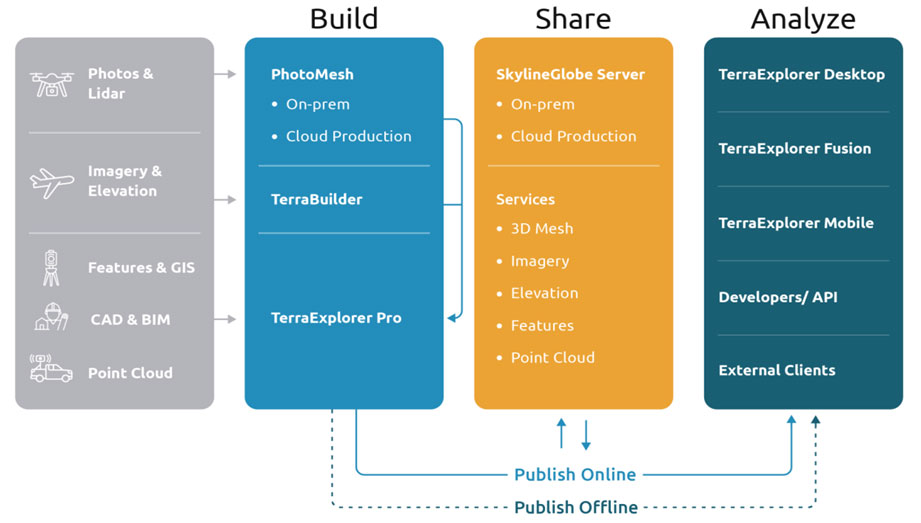
Build
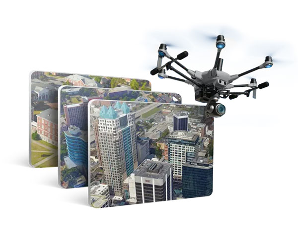
PhotoMesh
สร้างโมเดล 3 มิติความละเอียดสูงจากภาพถ่ายทางอากาศ ด้วย PhotoMesh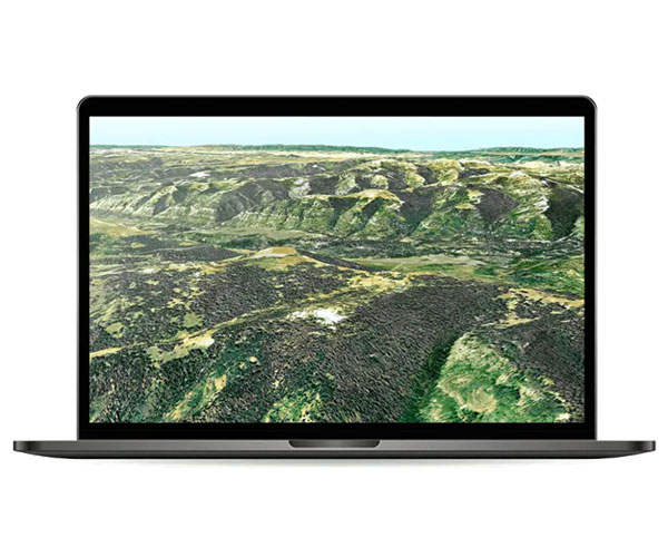
TerraBuilder
รวมข้อมูลภาพถ่ายและภูมิประเทศ สร้างโมเดล 3D ที่แม่นยำและสมจริงSKYLINE PRODUCTS
Share
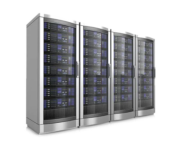
SkylineGlobe Server
จัดเก็บและเผยแพร่ข้อมูลภูมิสารสนเทศทุกรูปแบบในที่เดียว ด้วย SkylineGlobe ServerSKYLINE PRODUCTS
Analyze

TerraExplorer
เครื่องมือแสดงผล GIS 3 มิติ พร้อมฟังก์ชันวิเคราะห์และนำเสนอข้อมูลภูมิสารสนเทศอย่างครบถ้วน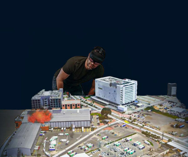
TerraExplorer Mixed Reality
Connecting between real-world experiences and digital content for enhanced decision makingSKYLINE
WORKFLOW
Skyline Platform ทะยานสู่มิติใหม่แห่งโลก Digital Twin
Case Study