Available Support all OS
Dot3D | Reality Capture Software
IOS
Large scale, professional-grade 3D laser scanning for iPads and iPhones equipped with built-in LiDAR cameras.
ดูรายละเอียดANDROID
Scalable solution for RealSense/DPI 3D scanning & measurement with all Pro features but NO EXPORT.
ดูรายละเอียดWINDOWS
Fully-featured Dot3D scanning from Windows / Android devices equipped with Intel RealSense and/or DPI Kits.
ดูรายละเอียดรับข้อเสนอพิเศษ สำหรับโปรแกรม Dot3D Software
ขอใบเสนอราคา
Dot3D for Windows & Android & iOS
One app. Three platforms. All professional-grade mobile 3D scanning:
- • Real-time 3D reconstruction with live quality feedback
- • Local data optimization (post-processing) for highly accurate results
- • Automatic AprilTag targeting for intelligent accuracy improvement
- • Planarity constraints, HD photo capture, and scan-time annotation
- • Single scene capture of up to 160 million points for larger spaces
- • Optional targeting workflows to reference known measurements / coordinates
- • Precise, savable measurements of distance, area, volume, and more
- • Convenient 3D editing with cropping, filtering, and coordinate system management
- • Direct color 3D point cloud export: DP, E57, RCS, LAS, LAZ, PTS, PTX, PLY, PTG, POD (RCS & POD Windows only)
Dot3D | Reality Capture Software
การทำงานรวมกับโปรแกรมอื่น
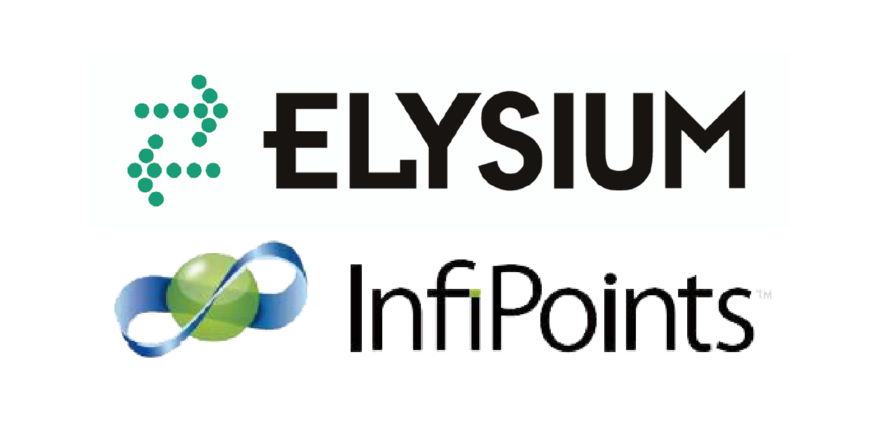
ELYSIUM INFIPOINTS
• แยกระนาบและทรงกระบอกจากข้อมูล DP point cloud บนแท็บเล็ต• Exportข้อมูลโมเดล IGES & DWG เพื่อนำเข้าไปยังเครื่องมือ CAD & BIM
• ทำข้อมูลสแกนให้เป็น CAD
CLOUDCOMPARE
• CloudCompare สามารถเปิดไฟล์ และแก้ไข ไฟล์ DotProduct .DP ได้• CloudCompare มีฟังก์ชันมากมายสำหรับการสร้างโมเดล การต่อข้อมูล การร่วมข้อมูล และอื่นๆ เป็นเครื่องมือที่มีประสิทธิภาพ
• และที่สำคัญ CloudCompare เป็น โปรแกรม ฟรี!
SKETCHUP
• สามารถเปลี่ยน file ที่สแกนเป็นโมเดลและนำไปเป็น surface-based ในการขึ้นCAD ผ่าน โปรแกรม SketchUp
AUTODESK RECAP
• สามารถเปิดไฟล์ .DP ใน Autodesk ReCap ได้โดยตรง และส่งออกเป็นไฟล์ .RCS จากที่นั่น ภายใน ReCap คุณสามารถครอบตัด วัด ใส่คำอธิบายประกอบ และอื่นๆ อีกมากมาย
POINTCAB
• PointCab เป็น โปรแกรมที่ใช้งานเริ่มต้นได้ในเวลาอันรวดเร็วแม้ว่าคุณจะมีประสบการณ์เล็กน้อย point clouds• ถึงแม้ PointCab จะเหมาะสำหรับผู้เริ่มต้นและใช้งานง่าย แต่ PointCab Origins ยังมีฟังก์ชันระดับมืออาชีพที่ตอบสนองความต้องการและกรณีการใช้งานที่ซับซ้อน
• PointCab สามารถ สร้างแผนผัง และส่วนต่างๆ และวัดพื้นที่ ระยะทาง ปริมาณ และอื่นๆ อีกมากมายด้วยการคลิกเพียงไม่กี่ครั้ง
VRMESH
• VRMesh มี โซลูชันที่ครอบคลุมซึ่งครอบคลุมการจำแนกประเภท point clouds การแบ่งคุณลักษณะ point clouds และ การรวม point clouds มีเวิร์กโฟลว์ที่เข้าใจง่าย เพื่อเพิ่มประสิทธิภาพการทำงานของคุณ มันรวมคุณสมบัติทั้งหมดใน VRMeshCase study
กรณีศึกษา
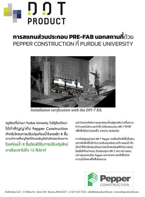
ONSITE SCANNING PRE-FAB ASSEMBLIES
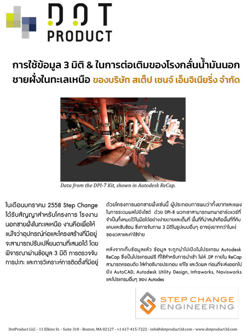
RETROFIT OF OFFSHORE OIL FACILITIES