
GEOSPATIAL CONTENT PLATFORM
ORBIT 3D MAPPING
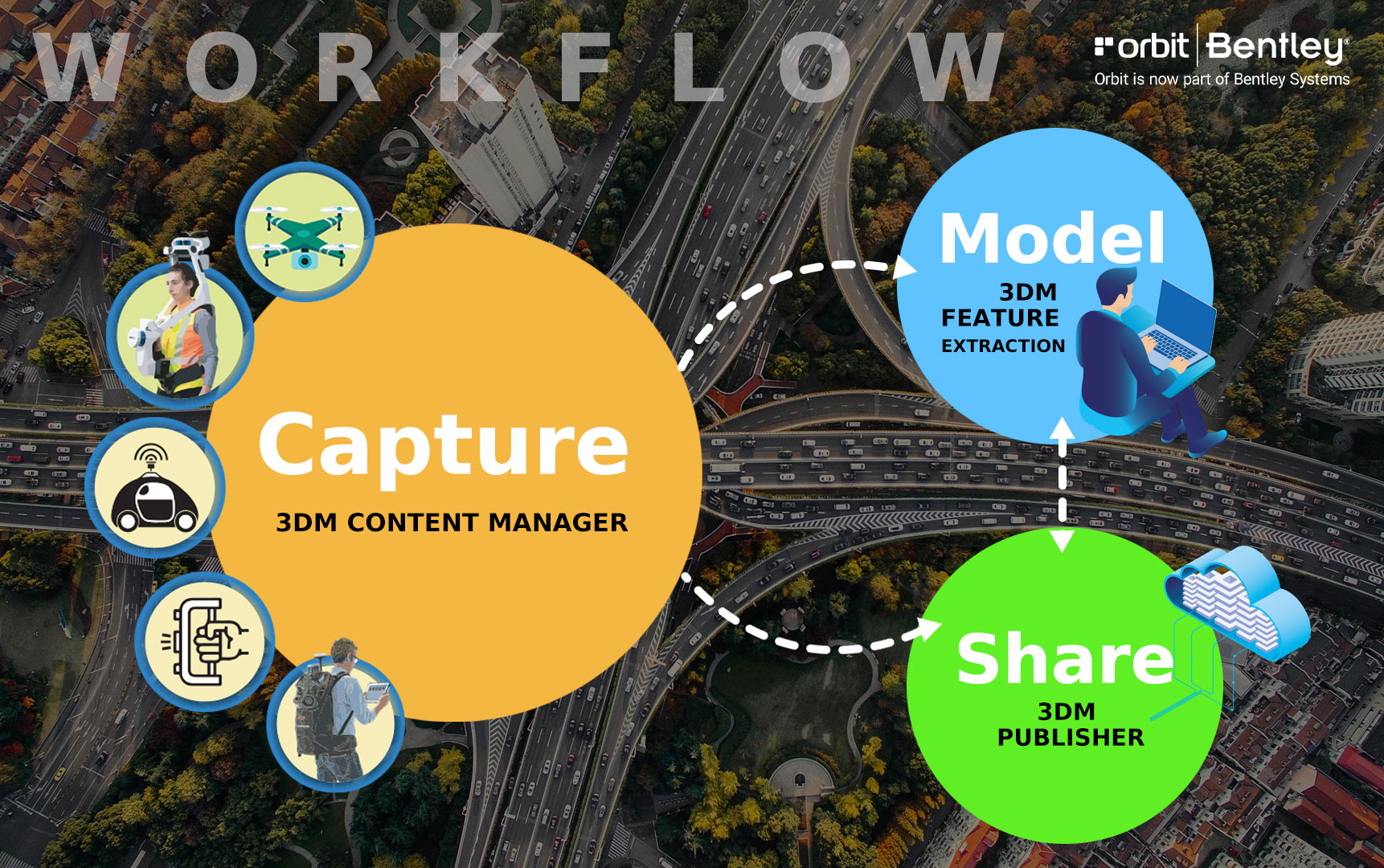
With Orbit 3DM solutions, efficiently manage, analyze, and share massive amounts of reality data of any size from any system, including point cloud, imagery, textured mesh, and traditional GIS resources, for use with reality modeling and digital twins.
Engineers, geospatial professionals, and infrastructure owner-operators can address current project needs for increasingly accurate, versatile, manageable, and embedded use of digital twins with 4D surveying facilitated by Orbit3DMsolutions.
ORBIT 3D MAPPING
Software To Manage, Analyze And Share Reality Data
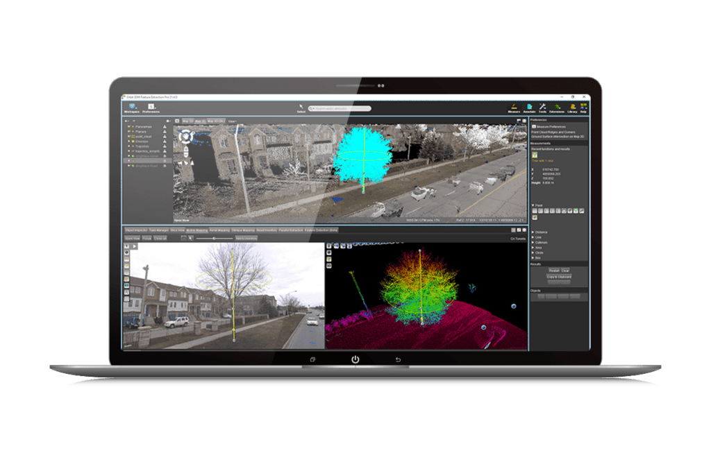
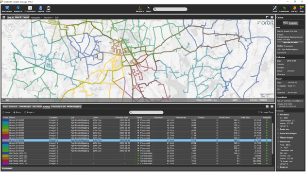
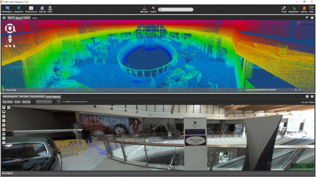
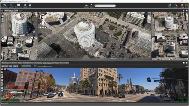
iTwin Capture Manage & Extract
เป็นโปรแกรมจัดการข้อมูล , เพิ่มความถูกต้อง, จัดการ data catalog , เตรียมข้อมูลสำหรับไปเผยแพร่ใน Orbit Publisher โดยตัวโปรแกรมจะรองรับข้อมูลที่ได้จาก sensors ต่างๆ เช่น MMS , TLS , ALS , วิเคราะห์ข้อมูล หา Profile Cross section, volume , clash detection, จัดทำ asset inventory , digitize ข้อมูลในรูปแบบ 3 มิติ, จัดทำโมเดล 3 มิติ , vector overlay
Orbit Publisher
เป็นโปรแกรมสำหรับการเผยแพร่ข้อมูลจาก sensor โดยสามารถเผยแพร่ผ่านทาง URL ผู้ใช้งานจะสามารถเห็นข้อมูลในรูปแบบ 3 มิติ สามารถวัดข้อมูลได้ ใส่ annotation , vector overlay,กรอกแบบฟอร์มขอใบเสนอราคา
หรือโทรปรึกษาเราได้ฟรี ไม่มีค่าใช้จ่าย โทร. 084-682-1041 (ฝ่ายขาย)
ขอใบเสนอราคา