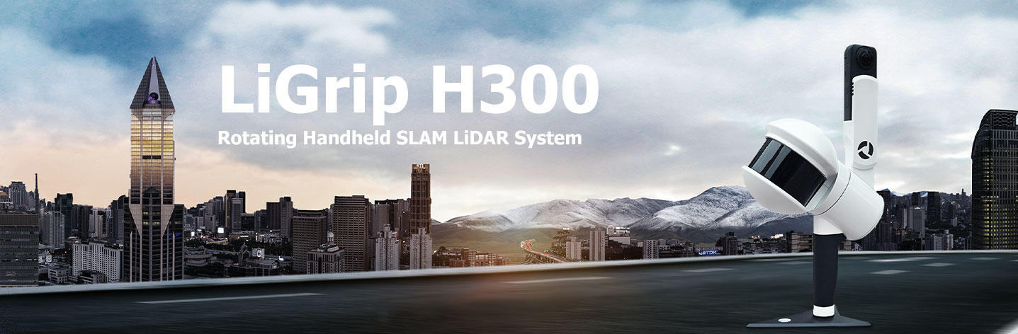
Overview
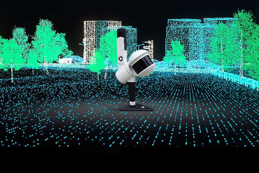
LiGrip H300 รวมหลายวิธีการทำแผนที่ความแม่นยำสูง ทั้ง SLAM, PPK-SLAM และ RTK-SLAM ช่วยให้คุณเก็บข้อมูลพอยต์คลาวด์พร้อมพิกัดเชิงสัมบูรณ์ได้อย่างรวดเร็ว เมื่อนำมาทำงานร่วมกับซอฟต์แวร์ LiDAR 360 และ LiDAR 360MLS จะมอบโซลูชันครบวงจรสำหรับการทำแผนที่ การสำรวจเหมือง ป่าไม้ งานสำรวจโครงสร้างถนน และการใช้งานอื่น ๆ
Multiple Mapping Methods
เก็บพอยต์คลาวด์ได้ทั้งแบบมีพิกัดเชิงสัมบูรณ์หรือเก็บตรง ๆ ได้ทันที
สามารถเก็บพอยต์คลาวด์พร้อมพิกัดเชิงสัมบูรณ์ได้โดยใช้จุดควบคุม GCP (หากไม่ต้องการพอยต์คลาวด์ที่มีพิกัดเชิงสัมบูรณ์ สามารถเก็บข้อมูลได้โดยตรง)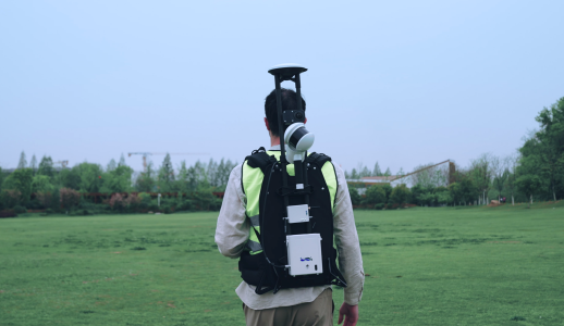
RTK-SLAM: พอยต์คลาวด์แม่นยำพร้อมพิกัดเชิงสัมบูรณ์ทันที
เหมาะสำหรับพื้นที่ที่มีสัญญาณ CORS ช่วยให้คุณเก็บพอยต์คลาวด์พร้อมพิกัดเชิงสัมบูรณ์ได้โดยตรง [ในบางพื้นที่ฟีเจอร์นี้อาจไม่สามารถใช้งานได้ กรุณาสอบถามฝ่ายขายหรือพาร์ทเนอร์ท้องถิ่นเพื่อรายละเอียด]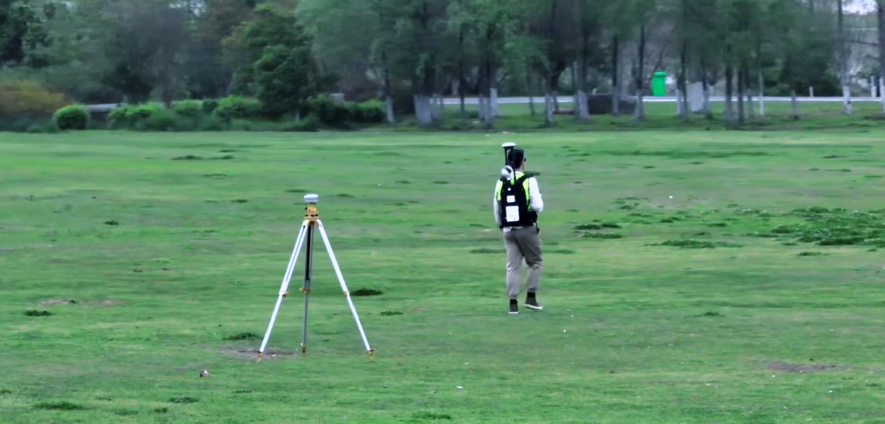
PPK-SLAM: เก็บพอยต์คลาวด์พร้อมพิกัดเชิงสัมบูรณ์ได้อย่างรวดเร็ว
สามารถเก็บพอยต์คลาวด์พร้อมพิกัดเชิงสัมบูรณ์ได้โดยใช้จุดควบคุม GCP (หากไม่ต้องการพอยต์คลาวด์ที่มีพิกัดเชิงสัมบูรณ์ สามารถเก็บข้อมูลได้โดยตรง)Download Brochure
ดาวน์โหลดSpecification
300m Ranging 640,000 pts/s
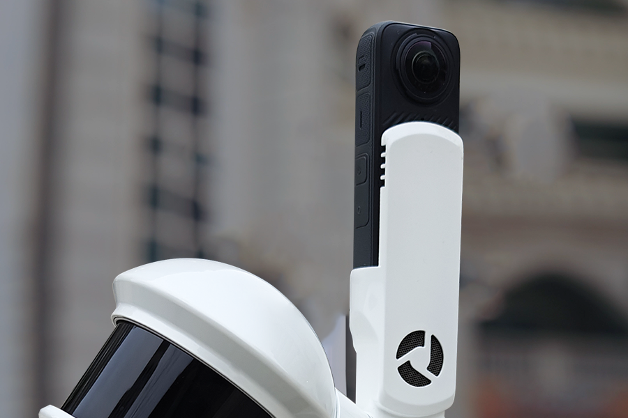
1-inch CMOS camera
รองรับภาพความละเอียด 6K และทำงานได้ยอดเยี่ยมทั้งในสภาพแวดล้อมภายในอาคารและแสงน้อยMulti-platform
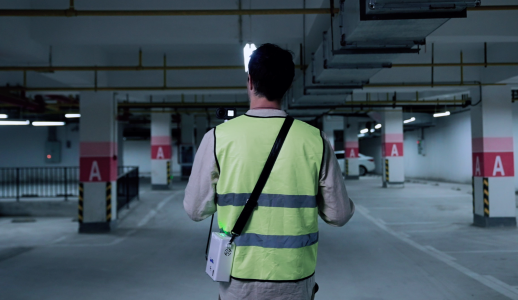
H300 เพิ่มความยืดหยุ่นและประสิทธิภาพในการเก็บข้อมูล ด้วยการรองรับการใช้งานทั้งแบบถือมือ สะพายหลัง ติดยานพาหนะ และแบบอากาศยาน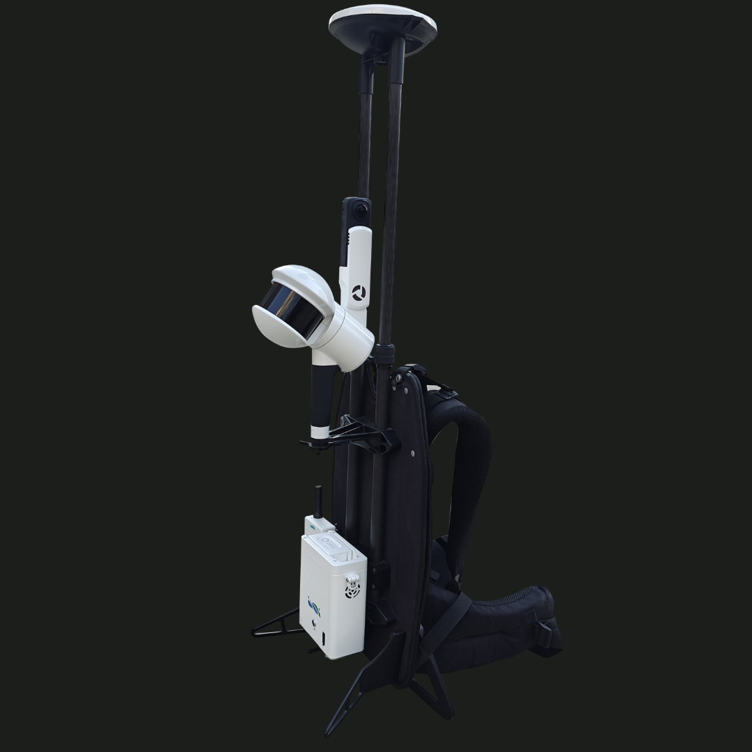
Backpack
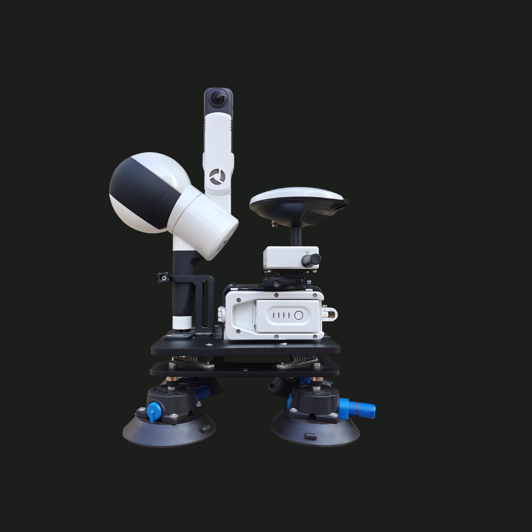
Vehicle Onboard
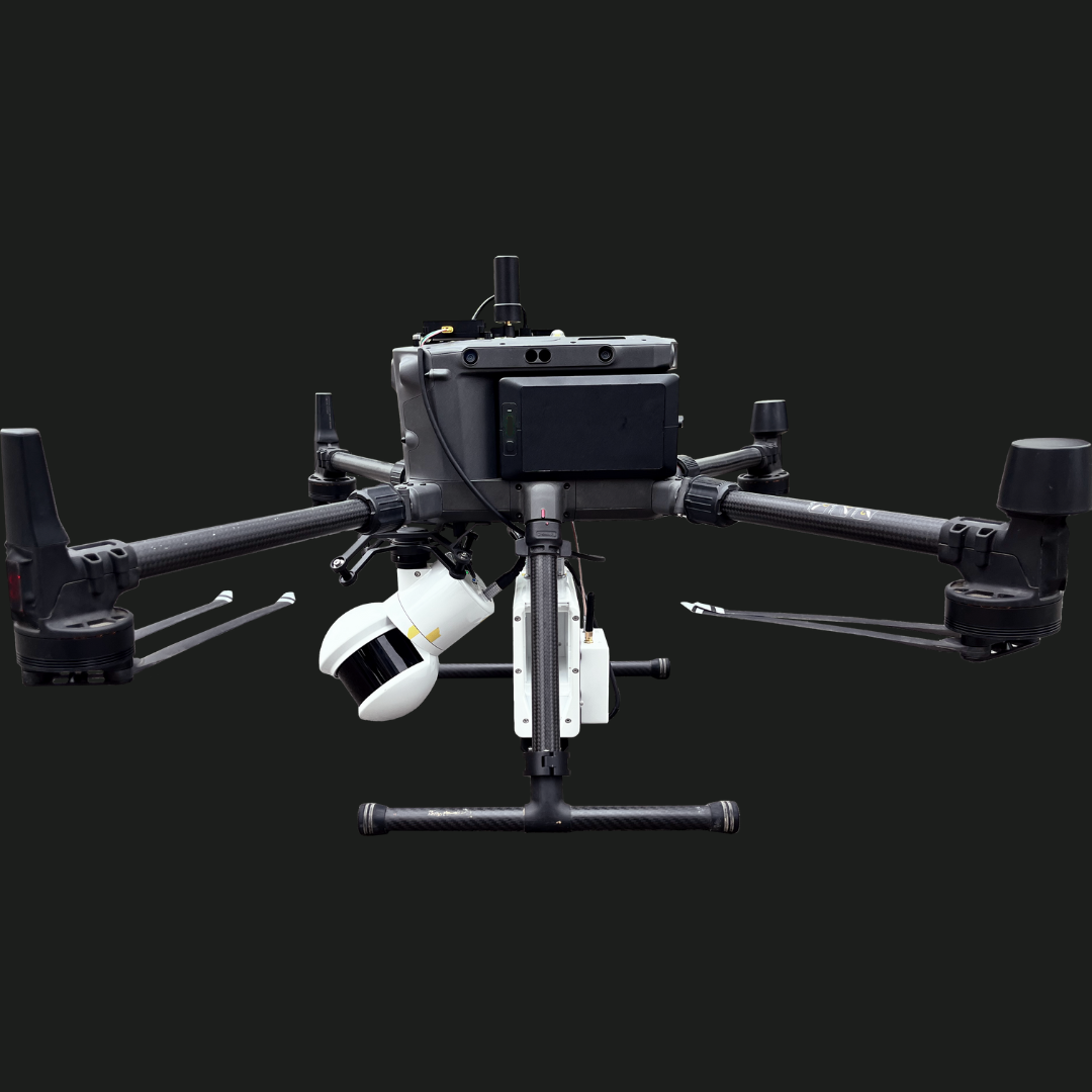
Airborne Mode
กรอกแบบฟอร์มขอใบเสนอราคา
หรือโทรปรึกษาเราได้ฟรี ไม่มีค่าใช้จ่าย โทร. 084-682-1041 (ฝ่ายขาย)
ขอใบเสนอราคา