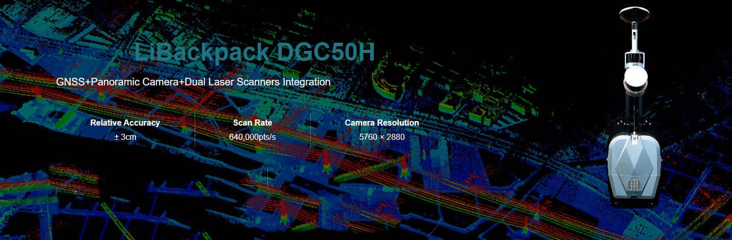
Overview
The Libackpack DGC50H backpack LiDAR scanning system is an upgraded version of the Libackpack Product Series. This device integrates a longer-range laser radar sensor in the horizontal and vertical directions, with better inertial navigation systems and self-developed batteries. The GNSS device and synchronization positioning and chart construction (SLAM) technology, regardless of whether there is GNSS information in the scanning environment, can obtain high-precision 3D points within the scanning range, exquisite, double the efficiency! It can be used in the fields of power patrol, forestry survey, mining measurement, underground space information acquisition, building facade measurement, BIM, and other fields.
Function
High-resolution Panoramic Camera
Adopt a high-resolution panoramic camera, and support 5.7K delay photography, the panoramic view is clearer and more realistic. The video size is reduced by 30-40 times compared to the previous generation backpack, shortening the video copy and transcoding time by 20 timesMHigh Precision, High Efficiency
The LiBackpack DGC50H can directly acquire point cloud data with absolute coordinates when used with virtual base stations or self-racked base stations. The laser range can reach 120 meters, the battery life is 2.5 hours, the park can be measured in 30min of 2W flat, and the laser point cloud data within 5cm of absolute accuracy can be output to meet the requirements of high-precision mapping.Simple to Handle, Easy to Operate
With LiFuser-BP post-processing software, high-precision color point cloud data and panoramic images can be generated with one click. Combined with LiDAR 360 software, it can realize urban road component census, floor plan drawing, elevation measurement, single wood division, mine cave measurement, and other applications.Download Brochure
ดาวน์โหลดRecommend Industry
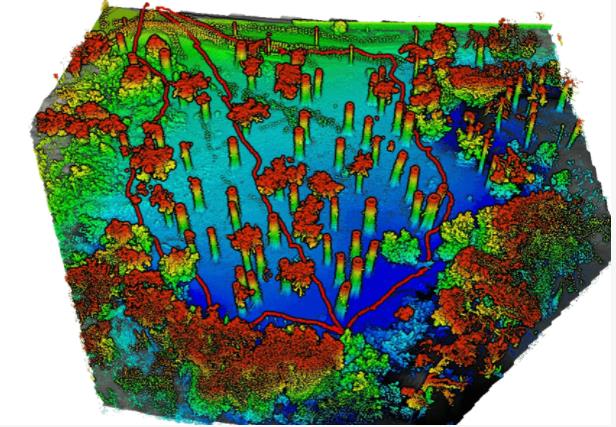
FORESTRY
Leverage LiDAR360 processing software to generate geospatial products from mobile, terrestrial, UAV or airborne systems that meet critical needs of foresters.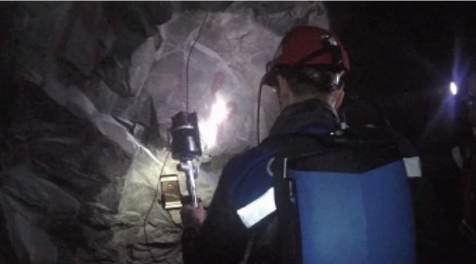
MINING
Solution using GVI LiBackpack DGC50H and LiDAR360 that allow clients to quickly and accurately measure the volume of sand barge cargo load in various and sometimes difficult operating environments.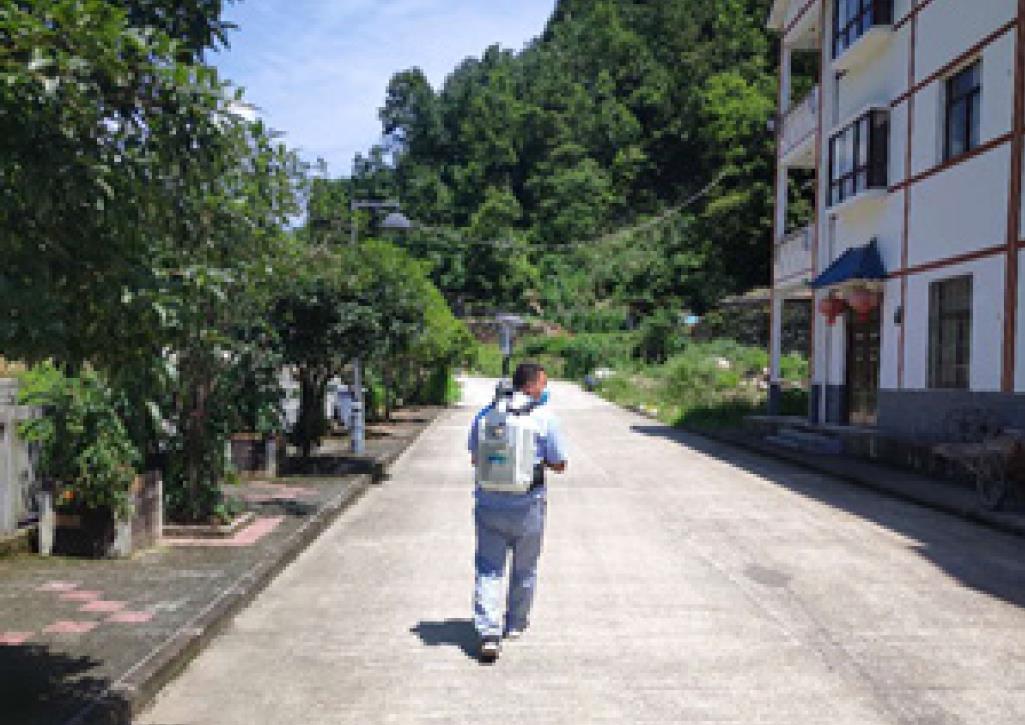
UTILITIES
A previous article showcased GVI solutions using UAV LiDAR for high-voltage transmission line survey. We now turn to another question, what about using LiDAR to inspect power distribution lines in urban neighborhoods?กรอกแบบฟอร์มขอใบเสนอราคา
หรือโทรปรึกษาเราได้ฟรี ไม่มีค่าใช้จ่าย โทร. 084-682-1041 (ฝ่ายขาย)
ขอใบเสนอราคา