JitJai Co., Ltd.
Application

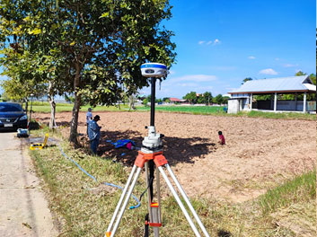
Ground Control Points for Drone Mapping
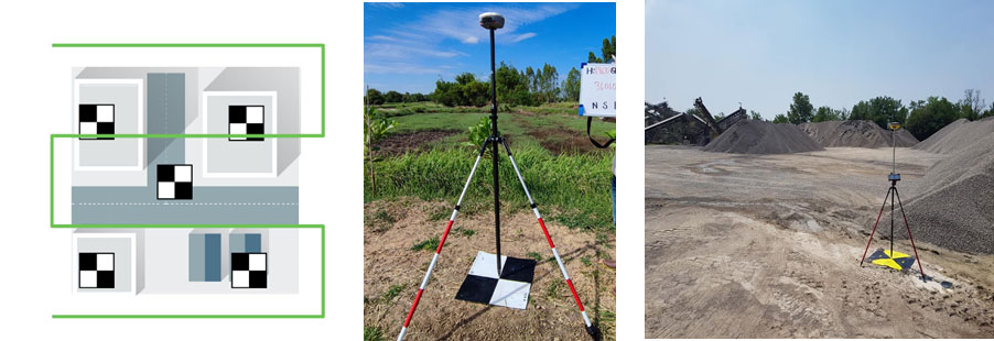
ภาษาไทยGround control points (or GCPs) are points on the ground with known coordinates. In an aerial mapping survey, GCPs are points which the surveyor can precisely pinpoint: with a handful of known coordinates, it’s possible to accurately map large areas or Checkpoints CPs are used to assess the absolute accuracy of the model. The marks of the checkpoints are used to estimate its 3D position as well as potential errors in the clicks. This way, the relative accuracy of the area of the checkpoints may improve. The 3D position can be calculated directly with coordinates from GNSS on site (Real time Kinematics: RTK) or process after data collection (Post-processed kinematic : PPK) to improve the accuracy.
Ground control points: why are they important?
Principal point image coordinates is the importance for photogrammetry mapping. Low accuracy coordinates system of drone images can cause the principal point image coordinates difference from drone’s flying tracks. Therefore, the quality of the resulting map is low accuracy.
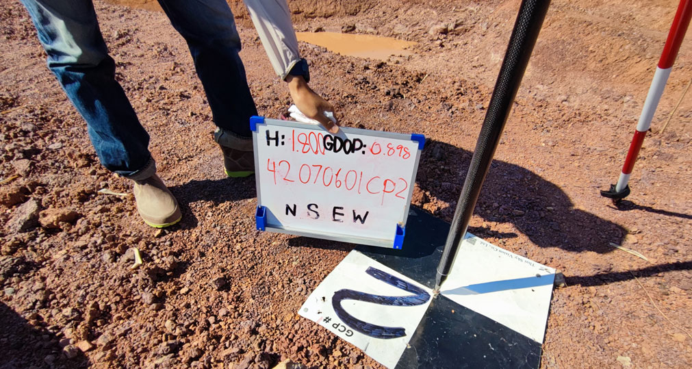
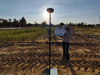
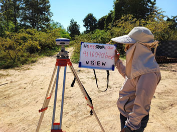
The ground control points (GCPs) are used for accurate georeferencing to indicate coordinates with centimeter precision GNSS receiver. Various measurement techniques such as RTK (Real time Kinematics), PPK (Post-processed kinematic) can help to pin the coordinates of aerial photographic maps to centimeter level accurate and also help to reduce the RMS Error based on the number of GCPs in each project.
Gallery